Soon, with our other friend Rufus, we started planning The Great Journey: a roundtrip through Bear Butte, Sturgis, Rapid City, Devils Tower, Bighorn Mountains and Medicine Wheel, Cody, round the Yellowstone and drive back with Beartooth Pass. Rufus is a good guy, skilled craftsman (and flute player, too), athlete and person respected among many Cheyennes for his knowledge of traditions and rules of conduct. Obviously one is required to stand his jokes, too (it’s like Monthy Python, but Cheyenne – once I told him about Polish pickled herrings, haven’t given me peace with it afterwards).
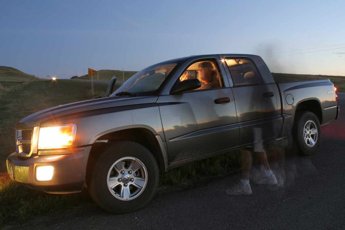
On the 15th we’re heading to Billings with all the family to do shopping and rent a car. Not good – the weather leaves much to be desired. Gray sky and drizzle don’t bode well, but no matter – It’s still better to go and see something in bad weather than not see anything at all. In car dealership we’re asking for a sedan or small van, but we’re in luck: Dodge Dakota – a brand new, typical American, big truck, but with good fuel economy, has just arrived. We take it, go to Walmart and – now with two cars – head back home. Our luck improves further – as we near the reservation the weather steadily improves and we arrive home to a cloudless sky.
In the early afternoon we’re on the road: 3 days and 1447 miles drive. And it was worth it: buffaloes, geysers, waterfalls and majestic, rich in timber hills and mountains. All that accompanied by Kid Rock’s All Summer Long, One Republic’s Stop and Stare, and Kardinal Offishal’s Dangerous, which were strangely fitting the pace of the trip, and will later cause funny “Pavlov reflex” in me: views out the window passing through my mind every time I overhear one of them. 500 dollars were unfortunately eaten by fuel alone. Eugene, like Borg, tirelessly sits by the wheel and drives non-stop, taking breaks only for to assimilate… erm, photograph landmarks on our way.
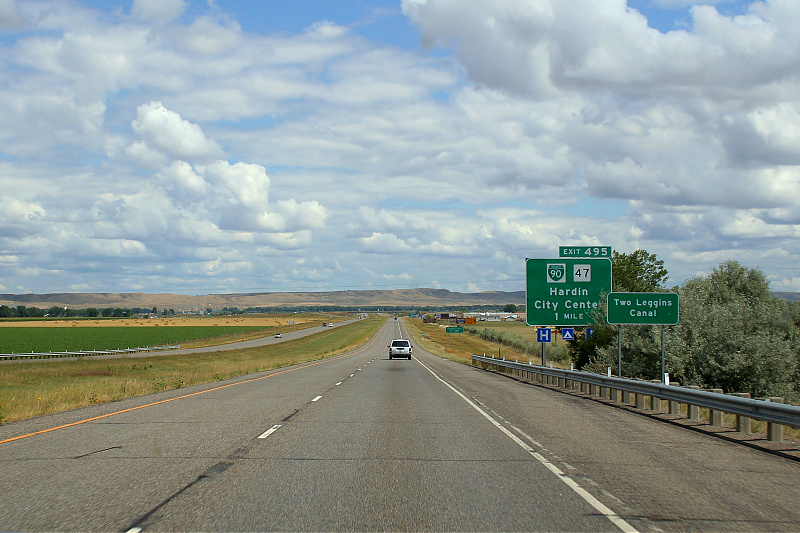
We take route 212, which is passing through the reservation. Being itself a back road of much longer Route 12, it has many famous segments: perhaps the most famous are the Warrior Trail from Little Bighorn Battlefield site to Broadus (that’s where we are now), and also the Beartooth Scenic Highway that climbs over 10k feet AMSL (which we will take at the end our journey, too). In his book Dateline America, Charles Kuralt named this route “the most beautiful drive in America.”
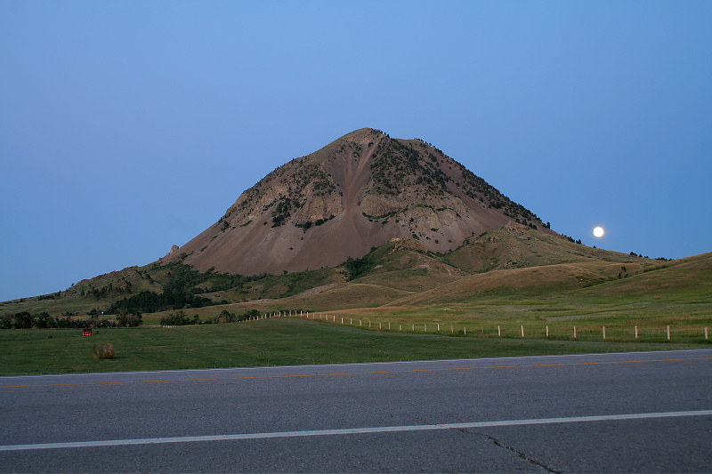 Bear Butte was our first stop. As it was dusk already, we stopped only for a moment to observe and take a few pictures. It is a sacred site for the Cheyenne and, although many tribes currently claim their identity to this mountain, only the Cheyenne have both historical as spiritual bond. It is said that here the Creator and sacred beings inhabiting the mountain gave Sweet Medicine 4 Sacred Arrows and knowledge of ceremonies that would ensure Cheyennes’ prosperity and well-being. It marks the beginning of the nation the Cheyenne were to the era of their culture being destroyed (the proper word here would be: erased) following US Indian Policy of XIX and the beginning of XX century.
Bear Butte hit the news when a bikers’ bar has been opened very close to the mountain. That gathered all sorts of “defenders” of the Butte, Indians of various tribes and cultures and even hippies. Some people just wanted to “make a name”, and they actually made things worse for everyone instead of helping. It’s however less known that already in 1930’s Cheyennes called for protection of Bear Butte, and from 70’s they’ve been buying pieces of land around the mountain to create a “safety zone”.
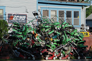
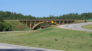 We spent the night in Rapid City. In the morning, while Rufus still asleep, Eugene and I made a short sightseeing of the city and nearby country. I managed to “shoot” the famous Willy’s Saw Shop – gardening hardware store with immense stockpile of lawnmowers and chainsaws, and also Keystone Wye – completely wooden bridge made from glued laminated timber with no nails used. Although we are only a few miles away from Mount Rushmore (the one with presidents’ busts), we are unwilling to go – who cares about some busts carved in a rock… big… busts…
After waking Roof, we move on taking Route 14 across state border to Wyoming. Our destination: Devils Tower and Bighorn Mountains.
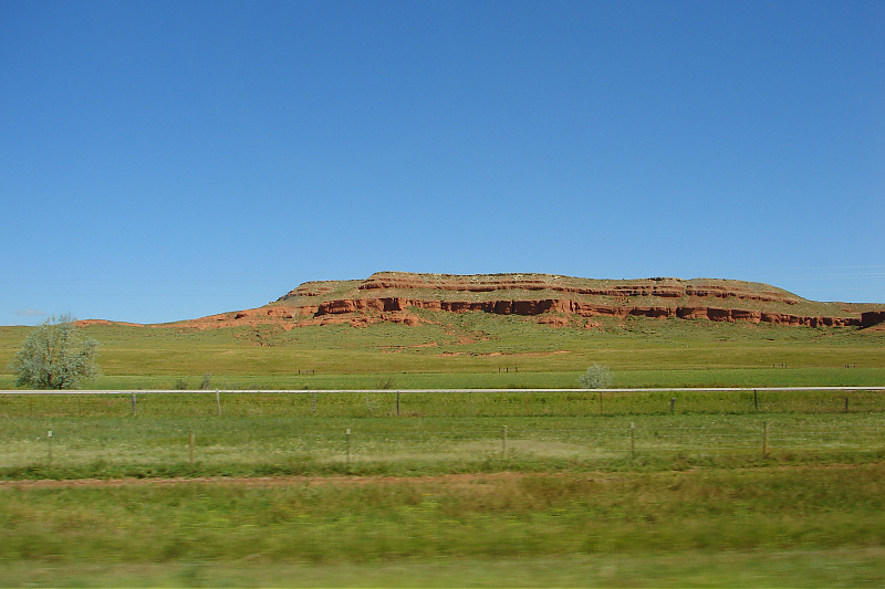
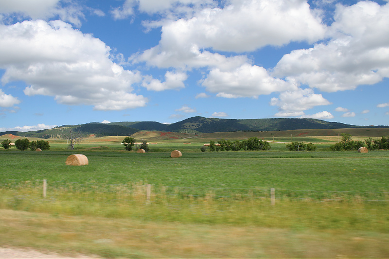
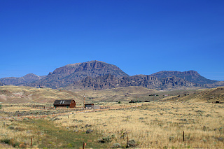
Wyoming – “the cowboy state” – is the kingdom of agriculture and livestock. It’s dominated by fields, farms and enormous pastures, from time to time separated by immense hills or, seemingly going beyond the horizon, prairie.
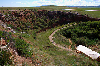 On the way from Rapid City to Devils Tower, there is an interesting landmark near a town called Sundance, which is often overlooked because of its inconspicuousness: the Vore Buffalo Jump.
Before introduction of horses, plains Indians hunted for buffalo in a very peculiar way: buffalo jumps – one just needed to direct the buffalo towards the cliff from which the animals jumped. On the bottom there were already Indian women waiting, they butcherered the buffalo, took off and tanned the skins and prepared the meat for transport. Vore Buffalo Jump is possibly the most known of those, because, according to archaeologists, is the best preserved site – over 20 layers of bones and other artifacts 25 feet deep have been uncovered.
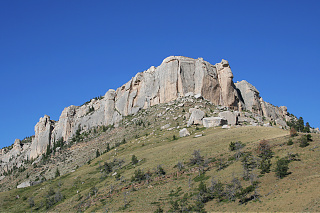
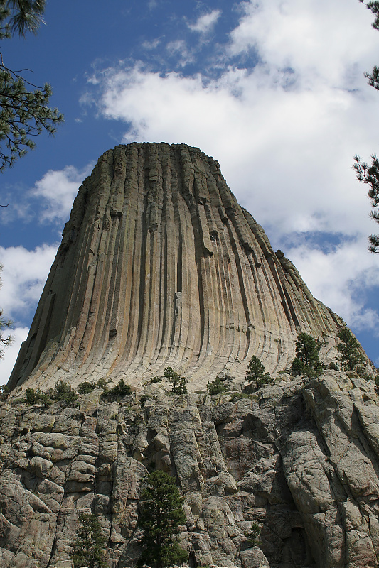 The Devils Tower, or rather Bear Lodge, is – I believe – very familiar to most of people, especially Sci-Fi movies’ fans – it was a silent star of the popular Close Encounters of the Third Kind movie. It is a mountain most likely of volcanic origin, which got its unusual shape by erosion of its walls. No movie though will show you how really magnificent, beautiful it is and how it constantly seems to change shape because of play of light and shadows. Many tribes have their legends connected to this landmark, most notable one about “a sister and her brothers”, where for them it is a mean to escape a big buffalo (or bear), to become stars in the sky. The variation of this legend is also told by Cheyenne People.
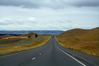
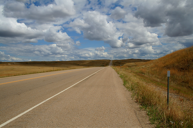
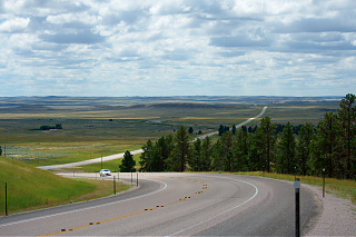 Bye, bye, Bear Lodge – we get back on Route 14. We won’t go far: my search for a perfect photo of “American” road came to an end. I reluctantly ask Gene to pull over, and he complies. We halt on a tall rise just before it descending slowly into the great plain – the road goes far, seemingly beyond the horizon, towards steel gray silhouettes of distant hills.
Before finally heading towards Bighorn, we make a quick detour past Lake DeSmet (also known as Medicine Lake) to reach the site of so called Fetterman Battlefield (or Fetterman Massacre). The Lake is said to have a great power, and is known for a legend that is shared among different tribes about a band of Indians, whose living conditions became so appalling, that they used their most powerful medicine to live under the lake bed. There was a warrior from another tribe that fell in love with girl, but he was too late to arrive and his horse was too afraid to go to the lake, so he could only watch as his beloved disappeared under the water.
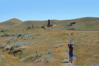 The Fetterman Battle, for the Cheyenne known as “A Hundred in a Hand”, was held on December 21, 1866. Captain William Fetterman, taunted by Indian decoys, led his regiment straight into a trap made by alliance of Lakota, Cheyenne and Arapaho tribes. Again, the historical accounts are conflicting and prone to political correctness. The inscription on the monument standing there is a very vivid proof of it – even just by stating it was a massacre, while it was clearly a military action. Eugene tells the Cheyenne account of the battle, pointing out all the errors.
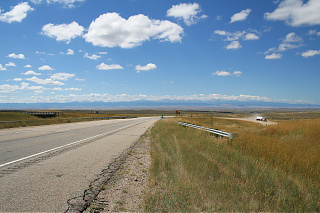 Further on our way we enter warriors’ trail. No, we aren’t back on Route 212, but we are on the same tail, that for centuries has been used by various tribes to reach their winter settlements in the mountains.
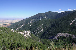
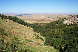
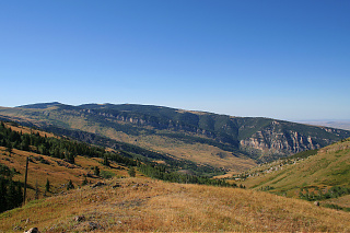
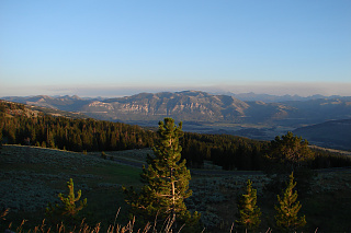
Bighorn Mountains are located in northern Wyoming stretching out to southern Montana – enormous mountain range sticking out of the plains, clearly visible from afar. You travel between the hills by curved, zigzagging asphalt roads slowly climbing their slopes. The look is fascinating, with breathtaking views on vast rocky valleys, forests on hills that seem go beyond the horizon. The rock formations have fanciful shapes and often very deceptive size – you won’t sense how enormous they are until you get closer. All surrounded by eerie view on the prairie through misty air – the entire range looks like enormous island on the ocean of grass, fields and pastures.
As our Dodge faithfully and swiftly climbs up with Gene behind the wheel, Rufus and I are, as he put it, “copycatting” each other’s photo shots – to the left, to the right we go. We’re like Japanese tourists – I joke.
In the Bighorn Mountains you’ll find the Medicine Wheel, a stone ring that is thought to be a few thousand years old. It’s another landmark easy to overlook, but this time it has its advantages – less people, easier to share information without worrying that somebody may misuse it.
This place is utmost worth seeing. The Wheel is located at the height of 9300 feet above sea surface on on desolate part of Medicine Mountain. That also gives an unforgettable view on the surroundings – even several dozens of miles away. To reach it, however, you need use a path that is over a mile long to climb several hundred feet – and it’s cold, very cold. It wasn’t uncommon to see snow on the way.
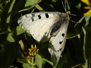 On our way I noticed a nice and peculiar butterfly: the Mountain Parnassian – Parnassius smintheus. It’s a close relative of Swallowtails, that became accustomed to living in the mountains. Even though its flights were short and seemingly sluggish, it was not easy to get a clean shot, so it took me a while to “snipe” it. And that’s one of (fortunately only a few) times during our journey, when I started feeling hurt: I noticed that Gene and Rufus were already far away – so busy chatting amongst each other, that they didn’t even notice I wasn’t following them. The cold air of the mountain suddenly got much cooler – was I only “along for the ride”? I decided not to think about it though, caught up with them without saying a word and tried to enjoy myself.
While this landmark still puzzles archaeologists and anthropologists, for Cheyennes the answer is simple – it’s their territorial mark, and ground for the Massaum ceremony. Rufus, our “expert” on “traditionalism”, explains the meaning of the rings, spires, and the ceremony itself. Things have changed a lot though, and the wheel itself, as Eugene expressed, from place of worship has become a place TO worship. Everywhere around there are ribbons and tobacco bags hanging. We even found a bobtail feet and somebody threw bones inside the Wheel. In the times of cultural revisionism, it’s hard to keep fidelity and truth, because, even if you try, you’re outcried by individuals, who build their beliefs by guesses and eclectic incorporation of others’ cultures.
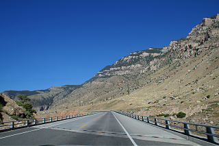
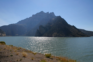
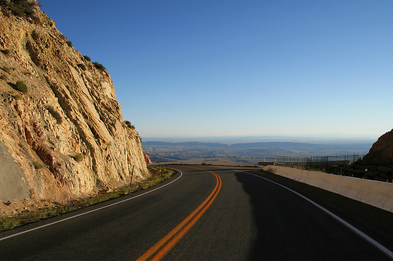 August sun slowly headed towards horizon and we were on the road again. As we were climbing before, now we’re heading down on twisting roads, where only a tiny, narrow fence is protecting the cars from plunging onto valleys at least hundred feet deep. A while later, on a long bridge, we passed Bighorn Lake – an artificial reservoir for nearby Yellowtail hydroelectric plant – this marked the end of our visit to Bighorns. We’re hoping we’ll spend the night in a motel in Cody. In that city, named after famous “Buffalo Bill”, you’ll find the biggest “wild west” museum in the world. But first we need to get there, and it’s not as easy as it seems – Gene doesn’t remember the way, but still wants us to make it before sundown.
Already in Cody we unanimously vote out the museum – too little time, too much to do. There’s an unpleasant surprise waiting for us, too: we’ll need to spend over a hundred dollars for the night at the motel – it’s season’s peak and the prices skyrocket. As my DSLR camera subtly hints, that its battery will soon need recharging, I dive into my bag in search for the charger. Found it, but… it has the cord with “european” plug! What’s worse, none of other we found could fit… Well, that’s just great! Still though, at least my secondary camera uses ordinary AA’s, and its picture quality is not bad at all – I’ll just need to manage them wisely.
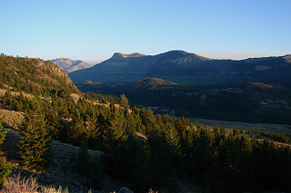
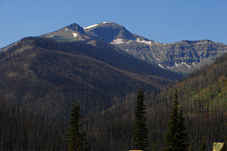 “At the crack of noon” we get back on Route 14 and head towards Yellowstone National Park’s east entrance. Before we get there, however, we will still pass through the most spectacular landmarks of Wyoming: Absaroka Mountains and Shoshone National Forest. First stop was the Buffalo Bill reservoir and Cedar Mountain, where a tunnel has been carved straight through the mountain. As we draw near, the landscape changes: prairie fades and more rocks and forests appear, and finally the forest and mountains appear in all their might.
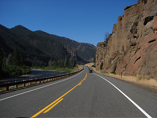
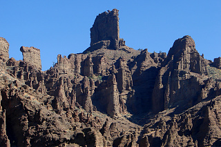
The road passes rocky cliffs covered with pine trees, bridges over streams and vast valleys, where you can observe distant mountain peaks smudged with snow. Time and again you’ll see rocky monadnocks, ridges and hills that has been sculpted by wind and rain into fanciful shapes. Their names move your imagination: Holy City, Chinese Wall, Sleeping Giant, Man Riding, Chimney Rock, Elephant Head – to name a few. Sometimes you’ll pass a spring going straight from the wall carved in rock during paving of this road.
As we draw close to the park entrance we formulate a devilish plan. Although Native Americans can enter the park free of charge, anyone else – including me – needs to pay fee both for themselves ($12 per person) and vehicle ($25). Therefore if anyone asks, I’m an Indian – which isn’t quite difficult thing to fake, with my deep brown tan and long dark hair…
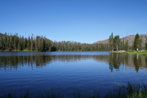
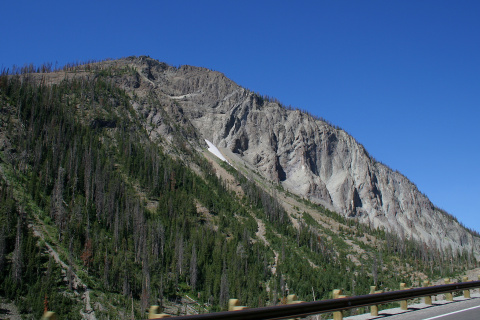
The plan works and we’re entering the park without any problem. Thanks to Rufus, who used to work in the Park, we could plan our route thoroughly to get the best of the park without the trial and error. But first thing’s first: we quickly move through East Entrance Road past the mighty Sylvan Pass and briefly stop at a very picturesque Sylvan Lake. Moving on, we stopped at Yellowstone Lake, which is the largest lake in the Park and the whole North America. The lake itself is, surprisingly, quite unexciting and featureless sight (it’s just a big lake), however as you travel along it’s shores, you can catch a glimpse of what’s to come while several hot springs along the way flow into it spawning plumes of steam. On the opposite side of the road you will see a reminder of the 1988 great fire in the park – miles and miles of naked trunks, with all the vegetation slowly resurrecting.
The road circles around the lake and it takes us almost half an hour to finally join Grand Loop Road, which is main sightseeing route of the park. After leaving the lakeside, the road is becomes surrounded by forest. That’s when we catch the first sight (and smell) of Yellowstone Bison – one strong bull is defiantly laying on the side of the road, causing a quite long traffic jam. Sometimes you can spot other animals as well: elks, badgers, foxes or even bears are not uncommon sight.
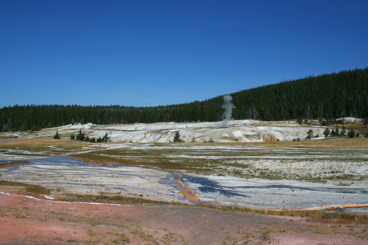
First place we visited was Upper Geyser Basin with the most famous of them: the Old Faithful. We’re not in luck, it’s season, we have difficulty finding a free parking spot – when we finally line up in one, there’s a loud woosh. Yup – the geyser wasn’t kind to us and erupted before we could even get off the car. Next chance: after 40 minutes minimum, but sometimes it keeps you waiting for over an hour. That gave us time to visit Old Faithful Inn – the largest wood cabin hotel. And you got to admit – it’s huge, 7 stories tall, with spacious lobby and enormous fireplace. It was built using pine trunks carefully selected for shapes and polished, which you can marvel at from large terraces inside.
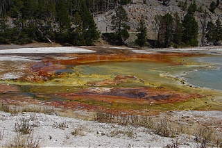
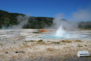 Still hoping to catch the next eruption of Old Faithful, we move across the road to Black Sand Basin. There, while walking on a walkway close to the ground painted by bacteria and minerals with all colors of the rainbow, you can observe a few smaller geysers and as much colorful, hot lakes and ponds. I’m in luck – the Spouter Geyser, which is said to be less and less active over the years, this time was bubbling and splashing and finally spit a quite impressive plume of water just as I got my camera ready. Other geysers were as much active, and I eagerly took photographs… until the camera announced the memory card was full. With much grief I trim the shots until only a handful of good ones remains – I’m already regretting it, but what choice do I have? In nearby shop all the cards’ prices are preposterous, and I don’t have any other with me.
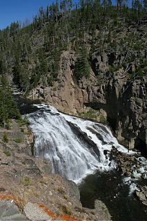
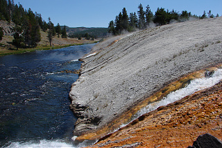
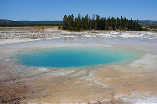
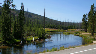 Tempus fugit. We leave Old Faithful behind and keep advancing further through the land of geysers. We also stops at Biscuit Basin, Midway Geyser Basin – home of the Grand Prismatic Spring, the third biggest hot spring in the world – to finally move to Lower Geyser Basin. We later race against Firehole and Gibbon rivers to eventually reach the first waterfall on our way: Gibbon Falls. Next stop: Great Canyon and Great Falls of the Yellowstone.
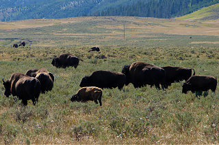
Suddenly Rufus blasts like a cannon: “Tatanka? Tatanka! TATANKA!”. He imitates Kicking Bird from Dances with Wolves movie, when he is announcing the return of buffaloes. Sure enough, at least a hundred bison appear on an open plain before us. After finding a spot in the long line of other cars parked on the side of the road, we join the observers.
The animals seem not to care about their fame and go about their business – quite literally, by the way. “Mom, look! That buffalo is licking another” we hear little girl yelling on top of her lungs, “look, how they like each other”. You can see that, all right! One bull makes unambiguous advances to a cow, apparently in estrus. Disgusting! We certainly didn’t want to see that – but that’s nature for us…
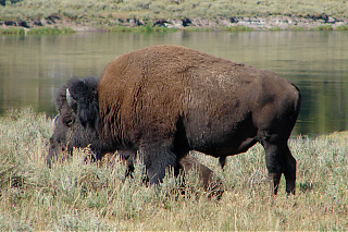
I’m discontent, because the most of the herd is backlit – buffaloes become nothing but black silhouettes on photos. No matter – better this than having no photos at all. Already in the car I managed to take picture of a big, majestic bull from the “right” side.
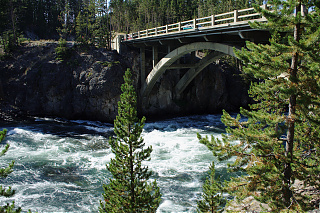
It’s time to eat, and we finally cross Yellowstone River through Chittenden Bridge. Well, hello there! As we park at the visitors’ center, there’s another bunch of buffalo, right at the parking lot. All three of us get our cameras ready, but I’m first to assume strategic position as close to the animals, yet far enough not to get trampled or stampeded. “I’m looking at you, you are looking at me” – the clicks of my camera’s shutter intrigue one young bull, so I retreat further. Finally, a perfect session – while cautiously aware of me, the buffalo act naturally – one even takes a sand bath and other two young practice wrestling. There’s one thing that intrigues me: the buffaloes snort! Gene later adds to the curiosity, pointing out that skeletal remains of a wild boar, as big as a grown buffalo and having large hump similar to it, has been found and the uncanny similarity between them may be root of the story of the Great Race – where animals decided who gets to eat whom, and humans, previously hunted by buffalo, had their role reversed.
The parking lot hosts another guests, too: prarie dogs. Unfortunately, despite careful stalking, I cannot take photograph I’m satisfied with: they are too timid, and certainly too fast.
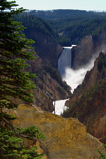
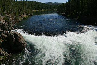
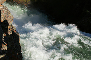
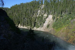
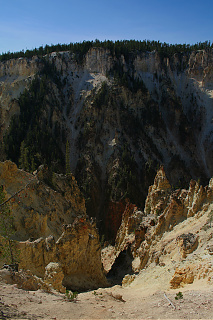 The sightseeing will be done on foot. We crossed to the other side of the river to reach Artist Point where you can marvel the Lower Falls and Grand Canyon of the Yellowstone in all their glamour. Lower Falls might not be the largest, but sure is the most spectacular waterfall and biggest tourist attraction of Yellowstone (and no wonder). Yellowstone River drops down to canyon from a little over 300 feet, creating enormous cloud of mist.
You also can finally see where the name Yellowstone came from. Cliffs of the canyon are colored with great diversity of yellow, from almost lemon-like to deep brown.
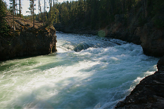
As we take the way back to Upper Falls, I’m following the river, making a few photographs of it crashing with roar through narrow meanders. The waterfall is right around the corner. It rips into the canyon with enormous force and speed.
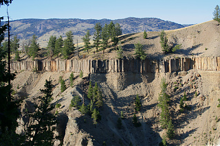
It’s time to move forth. It’s getting late already, and we still need to drive over three hundred miles today. We drive parallel to Yellowstone Valley towards Route 212. One can already see Absaroka Mountains from a distance, but there’s something else catching my attention: far on the horizon, there’s a gray shroud of smoke over the park – a big fire must be burning somewhere.
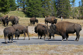
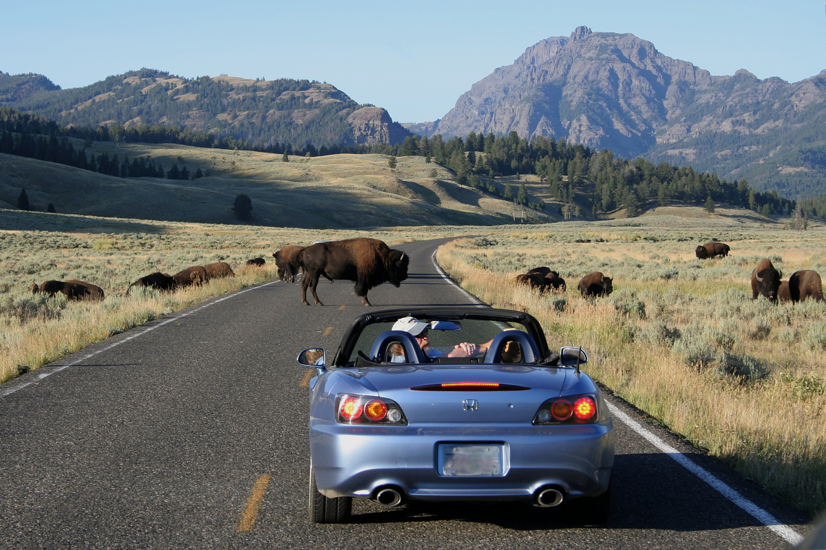
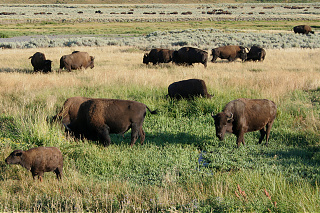 I’m left no time to contemplate the view, because we encounter the biggest buffalo herd we’ve seen on the trip – hundreds of brown humps sticking out of tall grass. The traffic slows down, and eventually comes to a halt when two bulls decide to spend some quality time in the middle of the road. I’m wasting no time, roll down the window and aim the camera… Success! A clear shot with Abiathar Peak in background, although the guy in front of us gives me a weird look.
Finally the bulls retreat and we move on through Lamar Valley, for the second time on this trip slowly drawing near Shoshone National Forest.
A little battery icon finally starts blinking on my DSLR’s display – I have only a handful shots before it gives up spirit for good. Well, at least it made it till the very end. I’m hoping that it will still live until we get to Beartooth Mountains. Until then I switch to my compact camera.
Meanwhile we pass the park gates – we have officially left Yellowstone and driving the Beartooth Scenic Highway.
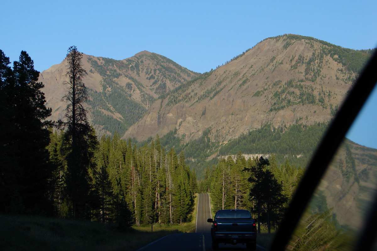
Beartooth Pass Scenic Highway is a segment of route 212 from Yellowstone across Wyoming border with Montana through Beartooth Mountains range, climbing four thousand feet to almost 11 thousand feet above sea surface and finally ending in Red Lodge. Because of snow, it is open just 4 months in a year. It’s an extremely curvy and somewhat tiresome (because of height) road, yet just because of the breathtaking views alone, it is worth every bugger.
Starting from a town called Silver Gate it races by Amphitheater and Republic mountains, bouncing off the state border with Montana around Pilot and Index Peaks before finally climbing until reaching the unforgettable view from its namesake mountain range. In the last rays of setting sun we observe rocky cliffs of nearby mountains in golden light and a part of Yellowstone, including the shroud of smoke from earlier mentioned forest fire – a truly out-of-this-world experience. We make a quick stop by Little Bear Lake – I set the tripod, press the trigger, shutter clicks… and DSLR announces that battery has been discharged.
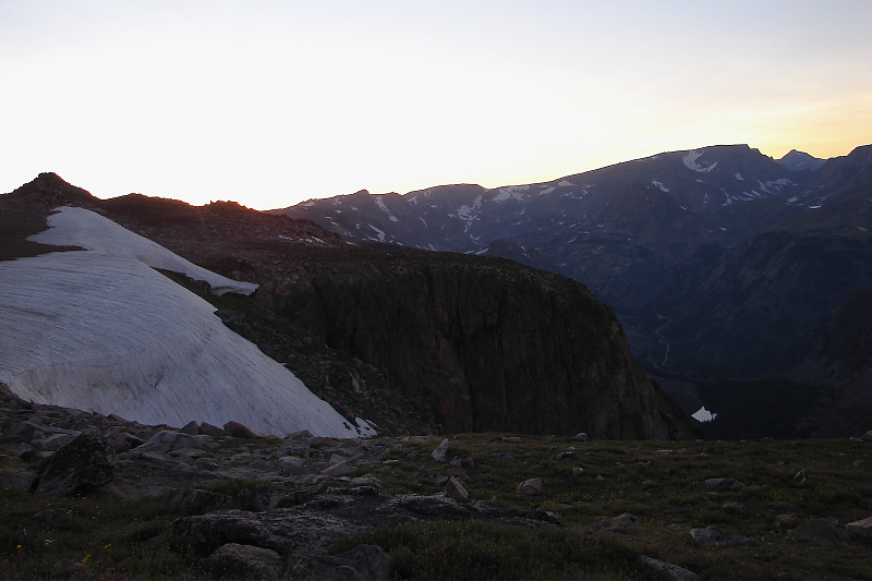 But the best was yet to come: In the highest point of the road we could observe majestic peaks slowly fating into darkness with western glow as background – completely noiseless, only disturbed by the passing of a few lone cars.
Now in almost complete darkness, we’re heading to Billings. Gene deliberates if we will spend the night there with family and will depart after Judi comes to pick us up. After speaking with her on the phone we decide – we’re going home. It will take a while though – we’ll only arrive a little past midnight.
The next day the entire family and I prepare to head out to Billings. Before that however I think about cleaning up inside the car, puzzling Eugene – “that’s what insurance’s for”, he says, in turn leaving me puzzled. After getting the car back to rental we go “downtown” so I can buy gifts for a giveaway for a people who helped me much during my stay – Eugene, Rufus and Tony. I want to buy blankets and starquilts, but Eugene insists I buy something else – such gifts were good when keeping oneself warm was a priority in Indians’ lives. Now it’s better to get something smaller and more practical. I don’t feel well with that – something tells me he politely suggests such a gift would be misinterpreted as me being a smart ass wannabe – but I’m trying to find the best suitable gifts anyway. After finding a flute for Rufus (he plays very well) we’re ready to go back home.
In the evening with Eugene and Rufus we’re doing sweat. This one has a harder “kick” (second round really strong: Eugene jokes, that Rufus has been knocked off by his own sweat), it isn’t bad though – in contrary, like after the first one I feel happy and renewed. And what do you know: no storm!
On the second-last day, by Cheyenne custom, I’m “sponsoring” dinner (buying ingredients that is) and give away gifts. It is worth mentioning that you ask a Cheyenne woman to do the meal, in my case it was Judi: traditionally the women were responsible for the
house, while the men were responsible for everything outside (“hunting and diplomacy”, as Eugene teased). In fact, at first it was pretty hard to “swallow” seeing Judi and girls doing the most of the work around the house.
Just the last “sweat” left at Tony’s place and next day I’m heading with him to Billings airport. I’m sort of feeling guilty, cause I couldn’t say bye to Judi as she took kids to school. I wish I even had not to. If I could stay, I probably would. 25 hours later back in Poland, somehow empty inside, beaten down, longing… Next year I’m going back…
Gene, when asked later whether my trip meant anything special to him, gave me very vague answer. It somewhat hurt me, because I couldn’t understand his reluctance. As the time progresses, however, I’m coming to realization, that maybe that really is the key – while waiting for something special, profound to happen, I overlooked the very essence of this trip. Against all odds I visited an old, good friend and his family for the first time; crossed the ocean onto another continent, just to meet each other, and say “hello”. But still, it’s funny: without even admitting to myself, I was desperately trying to find my place among Cheyennes, following idea(l)s, that I saw in movies, books and stories. The harder I tried the more painful it was to fail. And finally, when I stopped seeking – I found it, but not for whom I’d rather be – a white Cheyenne, but for who I was – regarded my knowledge and skills. And that’s the way it should always have been.

No Comments »
No comments yet.
Leave a comment