This is the town of Lame Deer, Montana. It's located within the Northern Cheyenne Indian Reservation, which is kind of given its own legal federal reserve trust land status for the Tribe to run it's own government and manage the land and natural resources, minerals.
The town got it's name from a battle that happened on the southeastern edge of town - before it was a town or a reservation. General Nelson Miles destroyed a Minneconjou Sioux camp here, and their chief was Lame Deer or Lame Antelope. Sadly he was killed in the fight.
The town is generally thought to have a population of just over 2000 people, mostly N. Cheyenne members of the Tribe but I'm sure there are considerably more -- because not many residents want to tell the census bureau or tribal housing programs just how many people are overcrowding into one home. Oh well...
From what I've been told occasionally over the years from other tribes across the country and even non-Indians not from the region, Lame Deer has a seriously dangerous and bad reputation for crime, drugs, violence, etc. It happens but it I can't say for certain if it's much worse than other places of high poverty. --Eugene LC 1/21/17
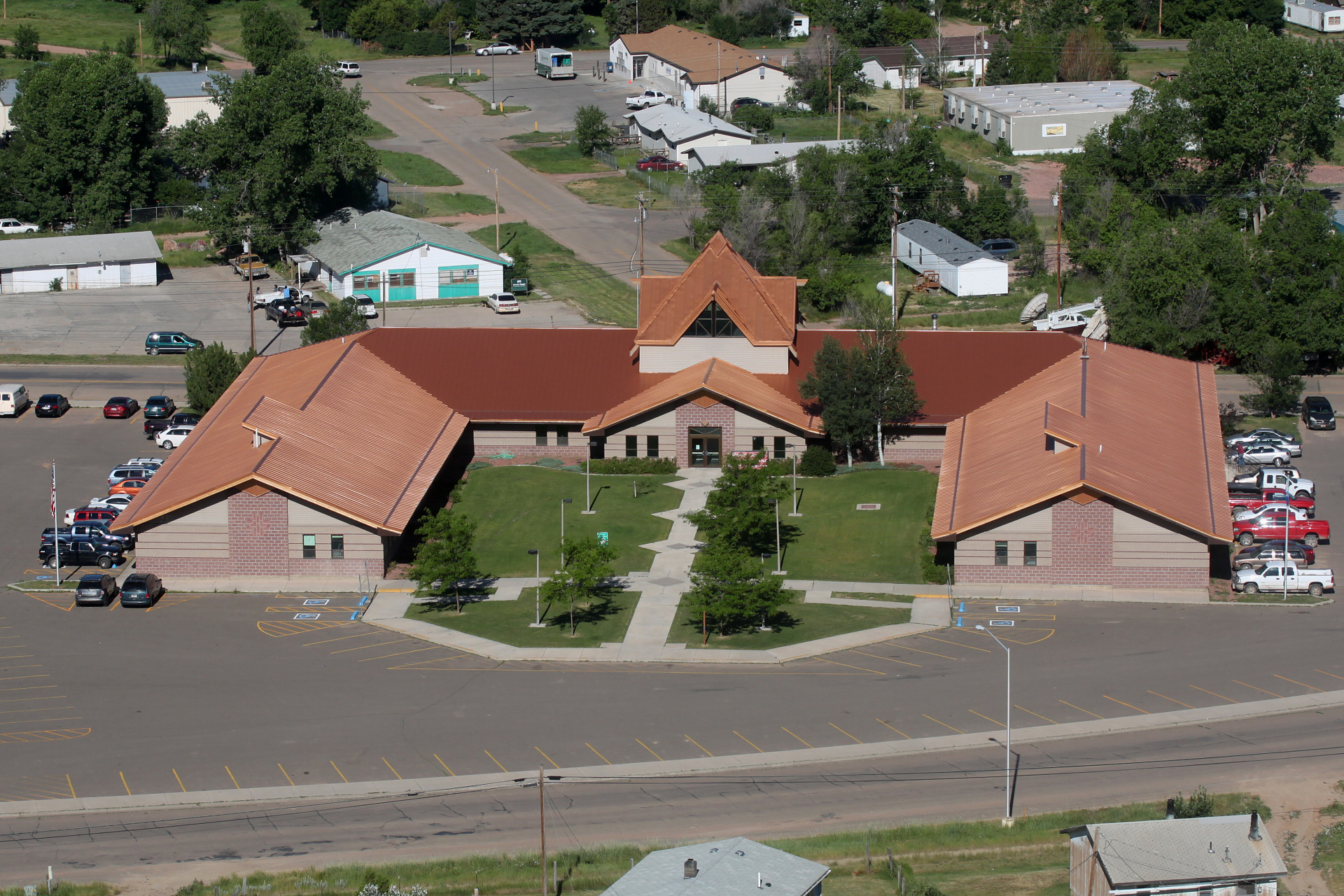
This is the Little Wolf Capitol Building, where the Northern Cheyenne Tribal Government offices are located. It was named in honor of the last great Sweet Medicine Chief (head of the Council of 44 Chiefs), Little Wolf. He was truly a great leader but because he killed another Cheyenne, Little Wolf's legacy in the most critical time of Cheyenne history was largely obscured.
The building itself is far larger than what it look like. –Eugene LC 1/21/17
The building itself is far larger than what it look like. –Eugene LC 1/21/17
Zrobiono aparatem Canon EOS 500D (obiektyw EF-S60mm f/2.8 Macro USM)
ISO 100, t=1/800s, f=60mm, f/6.3.
Utworzony: 2010:07:15 16:52:04
Zmodyfikowany dnia: 2010:07:18 23:03:00
Odwiedzin: 45
ISO 100, t=1/800s, f=60mm, f/6.3.
Utworzony: 2010:07:15 16:52:04
Zmodyfikowany dnia: 2010:07:18 23:03:00
Odwiedzin: 45


