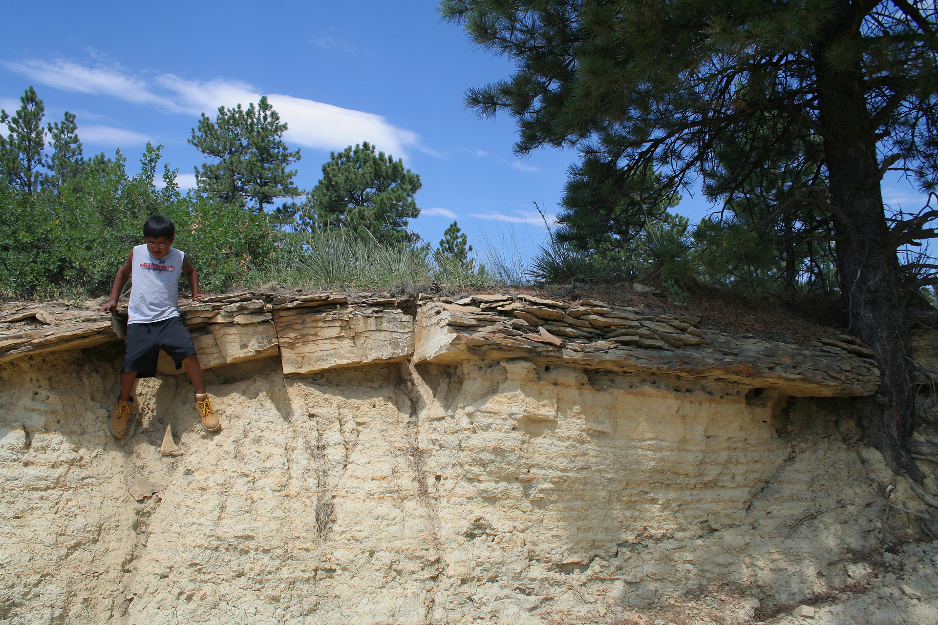
The Northern Cheyenne Indian Reservation is approximately 444,000 acres of land – part of Cheyenne traditional territorial hunting range with the Black Hills about 150 miles east of it. It borders Crow reservation from the west and Tongue River from the east. There are about 4500 people living there, mostly in five major communities: small towns, of which Lame Deer is the largest. Cheyenne land consists mostly of rich in pine timber hills and vast grassy meadows scattered with creeks and drainage. Sagebrush is very common there and, so characteristic to that terrain, "red earth".
The vast size is humbling: what from the distance seems to be a small raise turns to be a hill several dozens of feet high. Small pockets of bushes are in reality full grown pine trees. There are, of course, some places one shouldn't miss: the unforgettable view of swirling Tongue River from lookout point on Kelty Ridge, and the Morning Star View (although I learned its name a whole year later) – landscape you can marvel at while driving through Skyline Drive, an unpaved back road starting from Lame Deer, going east through the hills and ridges parallel to route 212 and ending in Rabbit Town.
The vast size is humbling: what from the distance seems to be a small raise turns to be a hill several dozens of feet high. Small pockets of bushes are in reality full grown pine trees. There are, of course, some places one shouldn't miss: the unforgettable view of swirling Tongue River from lookout point on Kelty Ridge, and the Morning Star View (although I learned its name a whole year later) – landscape you can marvel at while driving through Skyline Drive, an unpaved back road starting from Lame Deer, going east through the hills and ridges parallel to route 212 and ending in Rabbit Town.
Taken with Canon EOS 350D DIGITAL (EF-S18-55mm f/3.5-5.6)
ISO 100, EV: +0.33, t=1/200s, f=18mm, f/9.0.
Created: 2008:08:02 21:05:08
Last modified: 2008:08:30 15:51:00
Views: 27
ISO 100, EV: +0.33, t=1/200s, f=18mm, f/9.0.
Created: 2008:08:02 21:05:08
Last modified: 2008:08:30 15:51:00
Views: 27

